
Course Information
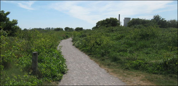
The course runs a loop around the Pegwell Bay Country Park before heading up a cycle path to the park where The Hugin sits, the route then goes past this, loops around on the old disused road to the hoverport before returning to The Hugin and back to the Country Park
The route is viewable on MayMyRun here.
There is only one slope really, so its not totally flat, each loop has maybe 40 feet of elevation rise in total, but there are some lovely views, Pegwell Bay, the cliffs, wildlife and of course The Hugin.The trail is very high quality crushed limestone, tarmac and a short stretch of single track path and grass (about 100 yards each loop). The loop distance is 3.29 miles.
The route is suitable for either road or trail shoes.