
Course Information
The course is loops of 4.42 miles that runs along a stretch of the Viking Coastal Way around Ramsgate in Kent.
You can view the route on MapMyRun here
The total elevation gain is around 100' for each loop. Navigation is slighty convoluted as to get the distance we have an uneven loop and two out and backs. It looks more confusing on the map linked above as that doesn't really show of course that there is a tunnel to run through.
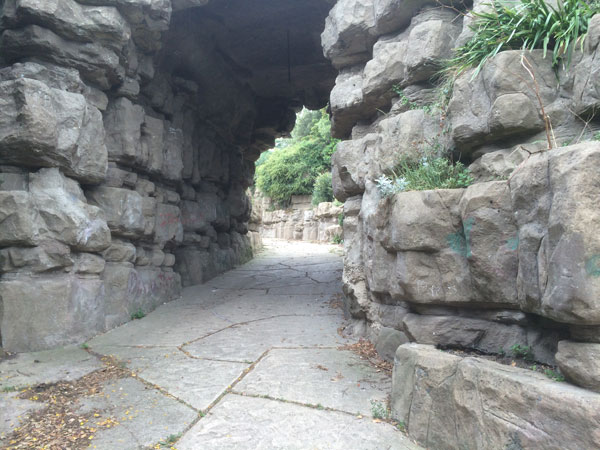
The Tunnel you'll run through and over on each lap.

You'll run past this sculpture each lap...
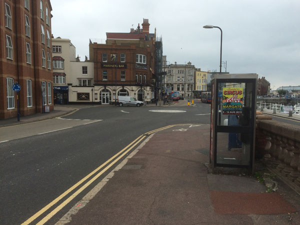
One of the turn arounds, there are no road crossings on the route so its fairly obvious where to turn around.